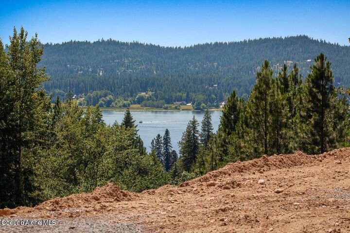


16443 W Sala Lane Hauser, ID 83854
Description
25-2917
$2,340(2024)
18.23 acres
Land
Lake, Mountain(s)
Lakeland - 272
Kootenai County
N/a
Listed By
Coeur D'Alene MLS
Last checked Jan 25 2026 at 7:01 AM GMT+0000
- N/A
- Sloped
- Wooded
- See Remarks
- Sewer: Septic Tank
Estimated Monthly Mortgage Payment
*Based on Fixed Interest Rate withe a 30 year term, principal and interest only


PROPERTY BOUNDARY NOTES:
1) The SOUTHWEST corner survey pin is located left of the 16433 driveway entrance; flagged; signs denote the location.
>From this pin, the SOUTH property boundary is uphill to the right.
>From this pin (along the dirt road to the left) is the southern portion of the WEST property boundary; uphill; marked with signs and flagging.
2) The NORTHWEST corner survey pin is located uphill on the left side of the build pad site, marked with blue & pink tape, approximately 50' into the trees; a sign denotes the location.
> From this pin, the NORTH property boundary runs to the right & uphill with intermittent stakes flagging the approximate property line.
> From this pin, the northern half of the WEST property boundary is viewed adjacent to the build pad and shop, marked with signs & flagging.
> Adjoining acreage available (from a neighbor) along this northern-west property boundary, to own the visible land, & widen the property if desired.
> From the build pad site, a dirt road located east of the driveway, leads to the SOUTH EAST property boundary & driveway to 16431.
3) The EAST property boundary can be viewed from the top of the 16431. Permission to drive through to view needed.
BUILD PAD UTILITIES:
> Electric panel at the corner near driveway. 200 amp electric with 30 & 50 amp plug ins.
> Septic connection (covered by an orange cone) located in front of the electrical panel.
> Water on/off valve is below ground. Access is capped with black ABS pipe, located in front of the electrical panel & to the right of the Frost-Free hose connection.